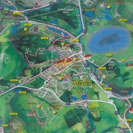
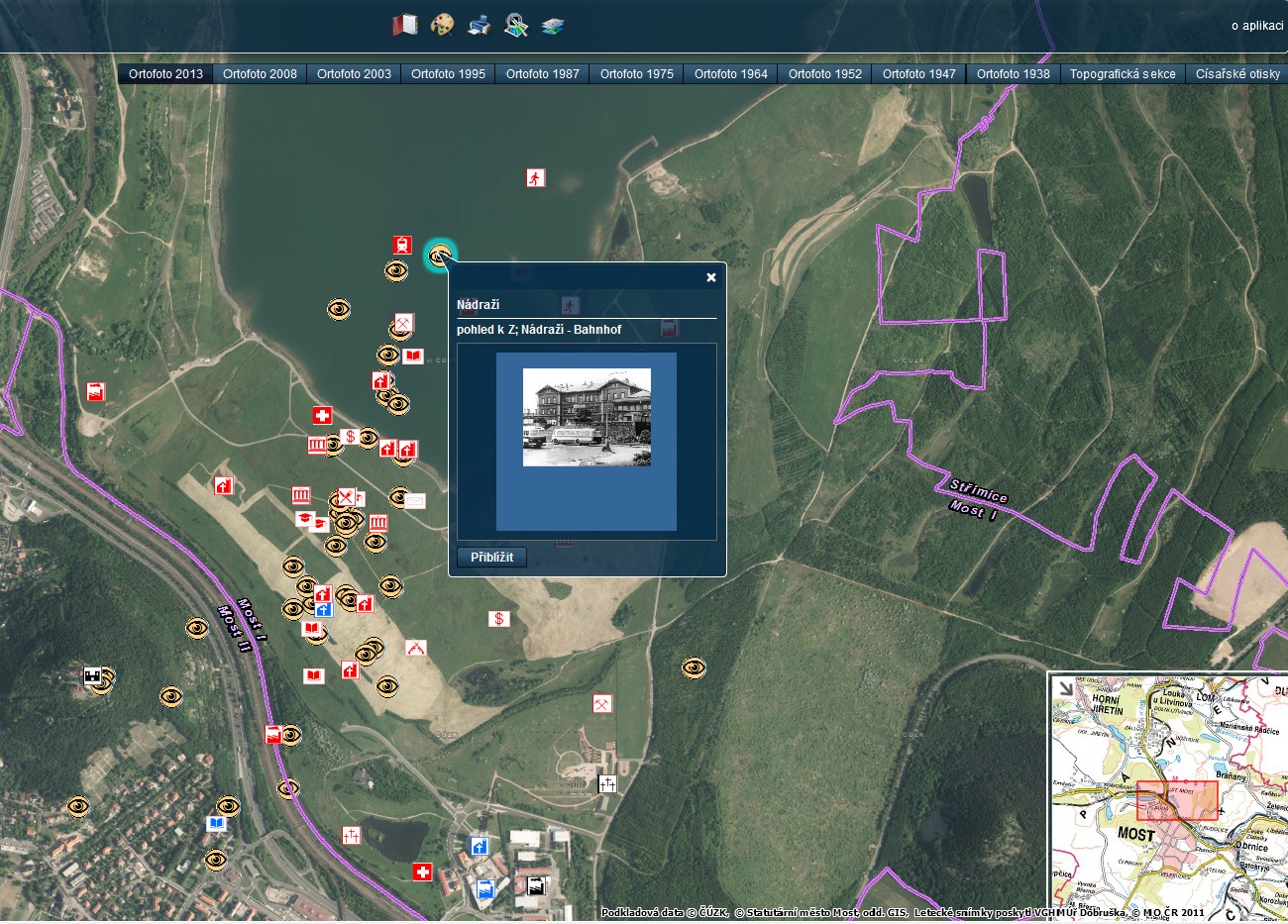
Transfer yourself with us to the past of the region of Most. The map represents a summary of relatively radical changes that the region of Most has suffered in its modern history. On the map it is possible to find the following information.
- present administrative and territorial limits (municipalities, land registers);
- the Czech and German names of municipalities, their parts and settlements located above their centres in the 1930s when the majority of them still existed);
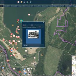
- photographs, pictures and postcards with brief descriptions located into the position where they were probably taken;
- more important buildings (churches, administrative buildings, schools, factories, etc.) categorized according to their purpose and existence;
- a street layout of the town of Most with the Czech and German names from the 1930s;
- an actual street layout of the town of Most.
Reference/Link to the map Bridge into the Past
Most do minulosti